Here’s what we’re doing in Baker County

The work of the St. Johns River Water Management District is all about water. Our staff work each day on your behalf to protect water. This work is focused on four core missions: water supply, water quality, flood protection and natural systems enhancement and protection.
Baker County is just one of the 18 counties where we do our work. Following is an overview of some of the ways that your tax dollars benefit not only the residents and visitors to the county, but also its natural and water resources.
Have you seen construction projects in your community or wonder where your water comes from? Chances are, the District issued a permit through its regulatory programs. The Consumptive Use Permitting Program reviews requests for water use and determines the amount of water available to be withdrawn from groundwater or surface water for uses such as public supply utilities, agricultural operations, commercial uses and power generation. Environmental Resource Permits authorize new construction in a way to prevent harm to water resources (such as causing adverse flooding), manage surface water and protect water quality, wetlands and other surface waters.
- Visit the interactive map dashboard to see what District permits have been issued in your county. Search by county, city or street address.
- Map-based GIS permit search tool (within the ePermit portal)
- Click here to search our ePemit portal for permits or applications.
- Overview of our permitting program.
Water supply planning and our regulatory and water conservation programs are examples of how we apply our water supply core mission each day.
- In Baker County, you are included in the North Florida Regional Water Supply Partnership planning region, which identifies water supply challenges and water resource development projects to meet current and anticipated demands for water.
- Watering restrictions help save water. Know your watering day.
- Florida Water Star program – Overview of building water efficiency into your home or business
- See map of “green homes” in Baker County
Strategies to protect and restore water quality include a commitment to comprehensive monitoring to guide impairment determinations, manage restoration projects and evaluate effectiveness.
- What’s happening with the water in my area right now? See our continuous water quality monitoring portal.
- Surface water quality, searchable map of status and trends.
- Groundwater quality, searchable map of status and trends.
- Springs water quality, searchable map of status and trends.
Flood protection comes in many forms, such as water storage in natural wetlands and your neighborhood stormwater pond or flood control structures built in strategic locations.
- There are no water control structures in Baker County.
- Flooding in hurricanes or tropical storms. Here’s a list of local government contacts, state agencies and helpful website links for before, during or after a storm.
- Location of controlled water levels in the District.
Natural systems benefit from lands the District has purchased for conservation and restoration. These lands are open for free for your enjoyment. On lands not owned by the District, natural systems benefit from effective permitting, water quality improvement projects, minimum flows and levels and cost-share projects.
- District funds contributed to the purchase of the John M. Bethea State Forest in the St. Marys River watershed.
Prescribed fire helps maintain fire-dependent public lands.
Public lands help protect Florida’s endangered plants and animals.
Minimum flows and levels balance people’s and nature’s needs. Learn more about MFLs.
The District constructs large, regional projects and participates in efforts that often benefit multiple counties and benefit more than one of the District’s core missions. Some of the efforts in Baker county include:
- St. Marys River Management Committee — This committee is an intergovernmental advisory board of elected and appointed members from four counties along the St. Marys River in Florida and Georgia, including Baker and Nassau counties (Florida) and Charlton and Camden counties (Georgia). The committee develops and implement plans and programs for the St. Marys River. The committee is made up of individuals who are involved because of a personal commitment to the use and protection of the St. Marys River. The District has participated on the committee as a non-voting member, in a technical support role, since its inception in 1991. For more information, visit saintmarysriver.org.
The District collects a wealth of data that is used to make science-based decisions in all our work. This includes data on how much rain your county has received, the water levels in area lakes and rivers, the amount of nutrients in natural waterways, planning to address future water supply needs and much more.
- Has your area received rain? See the rainfall dashboard.
- Hydrologic data, interactive map.
The Blue School Grant Program provides funding to teachers within the District in support of their efforts to engage students in understanding and appreciating Florida’s freshwater and estuarine systems. Encourage your child’s teacher to apply for a grant.
Contact us about a speaker for your group. We’d love the opportunity to speak with you about our work. Speaker’s bureau.
Free materials you can read or download at home or school.
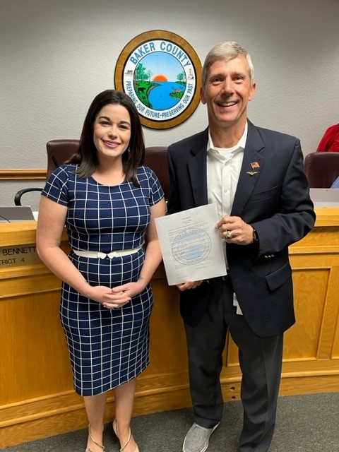
Staff in our Governmental Affairs Program provide water resource information, assistance and support to federal, state and local elected officials and their staffs, and collaborate on water resource issues, programs and projects. One of the ways you may have met team members is during the annual Water Conservation Month observance when your local governments approved proclamations recognizing the observance.


