About this property
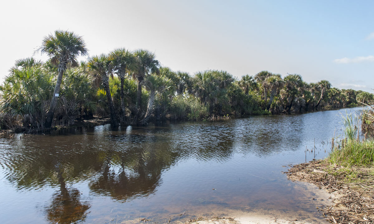
This conservation area comprises a significant portion of the Upper St. Johns River Basin Project, a cooperative effort with the U.S. Army Corps of Engineers to provide flood control and environmental protection in the region. The first discernible channels of the St. Johns River (Three Forks) arise within the marsh south of Lake Hell ‘n’ Blazes. The original floodplain communities of this area were severely impacted by diking and draining for agricultural uses decades ago. Water management areas now separate and improve the quality of agricultural waters before they flow into the river.
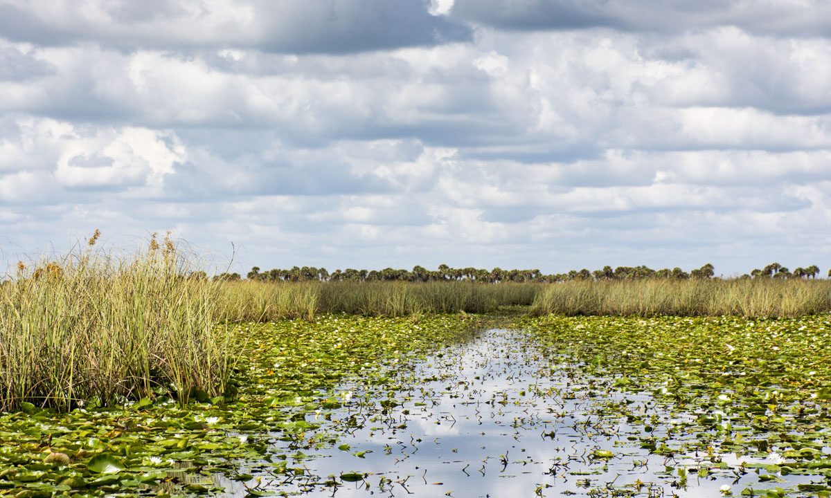
One of the special highlights of this property is its nearly 70 miles of trail. Other points of interest include primitive camping sites along the river marsh, boat launches and picnic areas, as well as other nearby public lands. This property’s natural habitat has been maintained by the use of prescribed fire in its expansive wet prairies and marshes in its northwestern portion. In addition to this beautiful area, visitors may enjoy the expansive sawgrass marshes and open vistas from the Tom O. Lawton Recreation Area.
Access
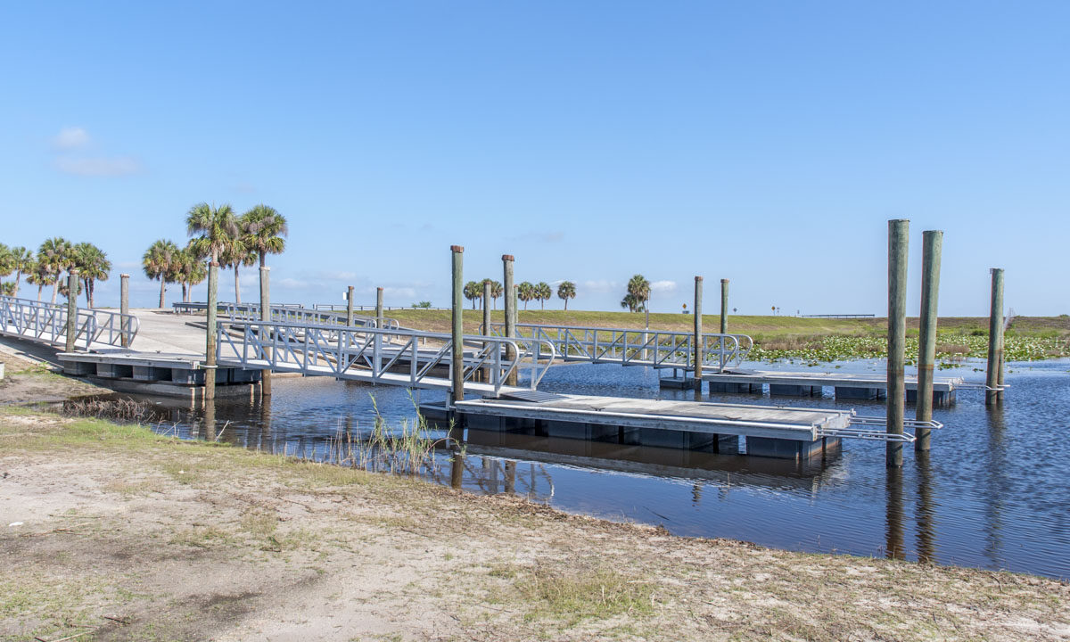
West of Palm Bay, access is from the Thomas O. Lawton Recreation Area, the Sweetwater parking area at U.S. Hwy. 192, the Kenansville parking area and boat ramp and from the Fellsmere Grade Recreation Area. For details and to get driving directions from your location, see the Google Maps link on this page.
Wildlife viewing
Please respect Florida’s wildlife and use caution while visiting District lands. These are wild animals. For your safety, do not approach or feed any wild animal. Restoration has helped to improve habitat for waterfowl, wading birds, river otters and shorebirds. The diversity of fish and wildlife provides a recreational resource for anglers, hunters, boaters and bird-watchers. Alligators are seen year-round.
Recreational activities
- Hiking, biking and bank fishing on the levees, seasonal hunting, fishing, primitive camping at designated sites, airboating, boating, canoeing and wildlife viewing.
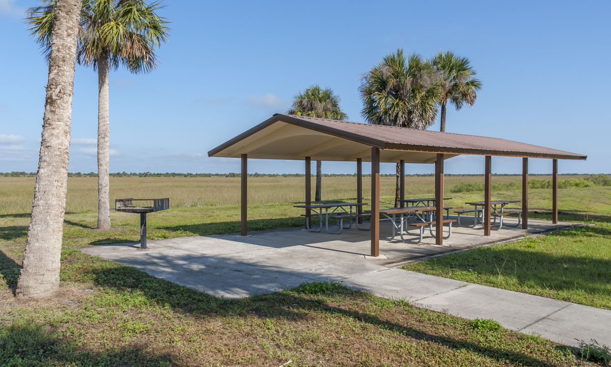
- Several shelters are located on the marsh. These are for day-use only and can be used for picnicking or protection from the weather.
- Geocache located on property. Please visit our geocache database for more information.
- An airboat tour concessionaire is located at Tom O. Lawton Recreation Area (by appointment with independent vendors).
Campsites and shelters available in the Three Forks Conservation Area
GPS coordinates are listed below for the campsite or shelters. Clicking the link will take you to the location displayed on Google maps. A printable map of the campsites and shelters in the area is also available.
| Name | Y | X | Link |
|---|---|---|---|
| Sawgrass Shelter | 28° 3′ 46.379″ N | 80° 47′ 18.452″ W | Google maps |
| East Union Cypress Camp | 28° 3′ 44.524″ N | 80° 47′ 11.327″ W | Google maps |
| North Indian Field Camp | 28° 3′ 25.983″ N | 80° 47′ 11.122″ W | Google maps |
| Spade Island Camp | 28° 0′ 45.742″ N | 80° 48′ 21.779″ W | Google maps |
| Bulldozer Cabin | 27° 59′ 52.313″ N | 80° 48′ 13.095″ W | Google maps |
| Willow Shelter | 27° 54′ 37.864″ N | 80° 44′ 47.154″ W | Google maps |


