Permitting program
Permitting program ensures balance for water resources among people and the environment.
- 3,602 environmental resource permits issued, denied, withdrawn or closed (2023)
- 352 consumptive use permits issued (2023)
- 302 water well construction permits issued (2023)
Cost-share programs
Cost-share programs help local governments and the ag community implement construction-ready projects to benefit District core missions. Since fiscal year 2013–2014 (through January 2023):
- Awarded more than $345 million in cost-share funding, for a total of over $1 billion investment when combined with partner funding
- Completed 689 projects
- Developed 135 million gallons per day (mgd) of alternative water supply
- Create 42 million gallons of alternative water storage capacity
- Conserved 25 mgd of water
- Reduced 9 million lbs/yr total nitrogen and over 480,000 lbs/yr reduction in total phosphorus
- Protected over 5,400 acres from flooding, improved 66 acres of uplands, and improved 20 acres of wetlands
Florida Water Star
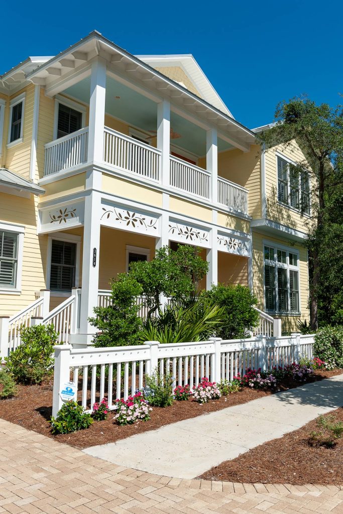
Florida Water StarSM is a certification program designed to increase water efficiency in landscapes, irrigation systems and indoors.
- Addresses specific needs relevant to Florida. Following program criteria conserves water and benefits Florida’s environment.
- The program consists of criteria for three types of construction/development: Residential, commercial/institutional and community.
- More than 8,500 structures, including single family homes, apartments and commercial buildings, certified since launching in 2006.
- Partnered with the Florida Home Builders Association
- Aligns with other “green” certification and recognition programs.
- Florida Water Star homes have been shown to save up to 48,000 gallons of water per year compared to non-certified homes.
- Florida Water Star
- Saves homeowners money on utilities
- Increases building appeal by adding resale or leasing value
- Reduces landscape maintenance costs
- Helps to protect our water resources
Agricultural Cost-share Program
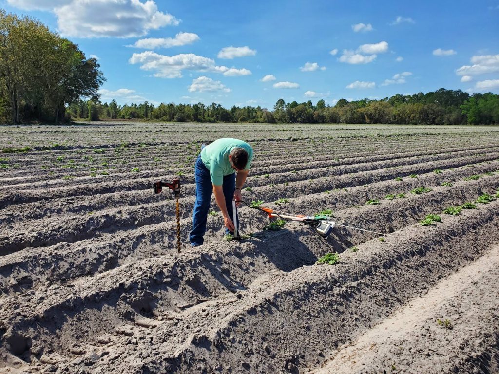
Agricultural Cost-share Program helps growers conserve water and help reduce offsite agricultural nutrient loading. Since 2015 (through January 2023), the Ag program has:
- Awarded more than $25.7 million with an additional $6.5 million from the state/ Florida Department of Environmental Protection; $13.9 million contributed by agriculture operators
- Funded 275 projects
- Conservation/water made available: 14 mgd
- Total alternative water made available: 2.2 mgd
- Reduced total nitrogen: 555,741 lbs/year
- Reduced total phosphorus: 109,222 lbs/year
Blue School Grant Program
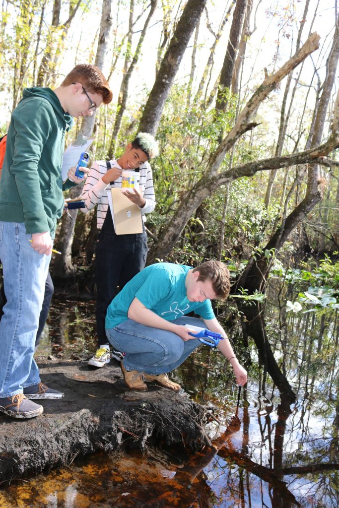
Blue School Grant Program — Since 2016:
- Awarded $125,404 to 89 projects in 76 schools
- Reached 12,440 students (through end of the 2022–2023 school year)
Who we are
- Environmental regulatory agency, established by the Florida Water Resources Act of 1972.
- Nine-member board appointed by the Governor and approved by the Florida Senate.
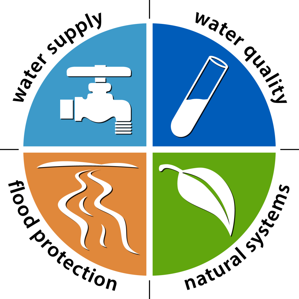
- Work focuses on four core missions: water supply, water quality, flood protection and natural systems.
- Funded by property taxes, permit fees, from local, state and federal sources, timber sales, cattle leases and interest earnings.
- About 529 full time equivalent employees.
- Service centers in Palatka (headquarters), Jacksonville, Apopka and Palm Bay.
- The District covers/impacts:
- 12,283 square miles, about 7.8 million acres.
- All or part of 18 counties in northeast and east-central Florida.
- 6.5 million people (2020), projected to grow to 6.55 million by 2040.
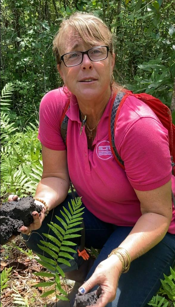
- 780,000 acres of land, most of which is open for public recreation.
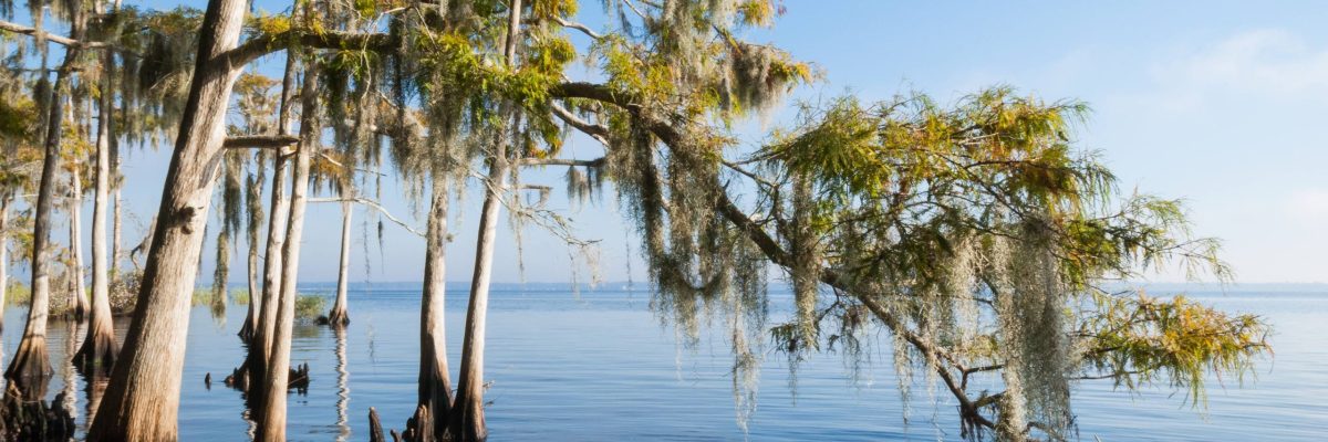
- District waters include the northerly flowing St. Johns River, 148 known springs (including 8 Outstanding Florida Springs) and 1,400 lakes.
- The District owns or manages 777,912 acres of land (through transfers, donations, fee-simple purchases and less-than-fee acquisitions). The majority of the property is open for the public to enjoy.
The District maintains:
- 115 miles of U.S. Army Corps of Engineers (USACE)/District-constructed flood control levees
- 175 miles of farm/project levees
- 12 major flood control structures
- 113 minor water control structures
- 25 weirs
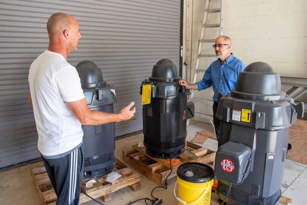
- 11 pump stations
- 90 miles +/- of canals
- More than 1,600 miles of roadways and trails
- Three navigational locks
- Ancillary infrastructure on 700,000 acres +/-
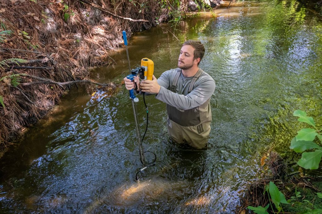
Water quality and quantity monitoring
- Operates and maintains 1,600 monitoring stations.
- Processes data from approximately 200 additional sites collected by federal agencies, other Districts and local governments, or by the U.S. Geological Survey under contract to the District.
- Each year, more than 16 million measurements are collected, verified, processed and stored.
